

Welcome to National “Read a Road Map Day” – we’re sharing some fantastic travel essentials and local destinations worthy of vacation plans this spring and summer! Learning to read an atlas and physical map can open up so many opportunities for off road exploring and unique destination vacations.

While we’ve all come to rely quite heavily on GPS and smartphone navigation options, there’s plenty of times where we may take the road less traveled and lose reception. In those instances, the best travel companion you can reach for is your trusted paper map or road atlas! Not only that, but if you’ve chosen to go on a very long hike, perhaps camping “in the rough”, or even just exploring a national park on foot, having the handy skills to read a physical map will keep you safe and sound in the event you don’t have a digital device to help you.

Let’s take a look at some of the fantastic Road Atlas options for National Parks, Scenic Drives, and other grand adventures.
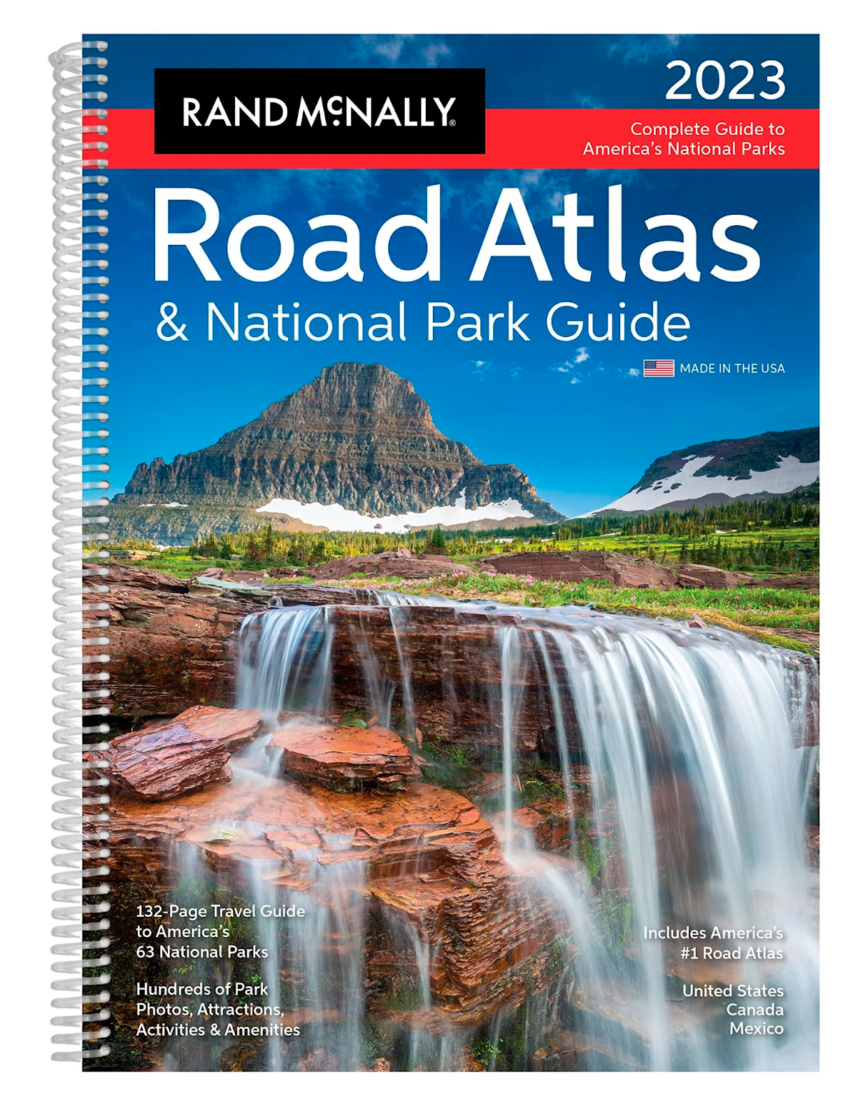
Get ready for the vacation of a lifetime as you travel across the country exploring the more than 60 gorgeous national parks across the United States thanks to this guide from Rand McNally.

If you’re looking for a handy backup for low reception areas during travel in the Midwest/Central US, this glovebox friendly folded Map will surely do the trick! Covering Illinois, Iowa, Minnesota, Missouri, and more.

This Great Lakes adventure guide would be wonderful to take with you and explore the region this summer for vacation! Covering states such as Minnesota, Illinois, Wisconsin, Michigan and more, there’s plenty of travel map routes to see the big cities and explore the acres of gorgeous wilderness and nature preserves.

Looking for tools to help you plan the road trip of your dreams so you can head off into the sunset on adventure this summer? We love this custom road trip map tool from Road Trippers. With their helpful website and mobile app, you’ll be able to plot out a custom route from start to finish. There’s plenty of options to add custom travel points, and you’ll even be able to plot out gas stations, rest stops, and restaurants. The trip planner can even set up a custom itinerary for you with mileage totals daily or for the trip in its entirety. It’s the ultimate modern-day road map tool.
Looking for some handy tools for offroading and hiking? We’ve got some great suggestions for a non-digital compass that will get you reoriented in just about any situation!

For less than $25, this portable bracket mount compass can be mounted to your vehicle’s dashboard with ease, and comes in one of two sizes and price points. It’s great for offroading, camping, and for easy navigation when you’ve not got much phone reception.

If you’re a hardcore outdoorsy type, you might want to opt for a lightweight but extremely durable option that clips onto your keys or pack! This titanium/brass compass fits nicely into the palm of your hand, and is virtually indestructible. Prices range from $23 through $70 depending on your material choice, but it’s a great tool to have available in case of emergencies or if you’re heading out on the trails.
If you prefer learning with visual aids, we recommend these wonderful YouTube videos as a great starting off point:

Let’s hit the Road and Explore Minocqua!
Now that you have some tools and tricks up your sleeve for navigating, reading maps, and using a compass to find direction, why not check out these incredible destinations on a road trip from Lake County area or Chicago on up to Minoqua, WI! Minoqua is a gorgeous destination with plenty of opportunities to use you newfound knowledge, with plenty of other local area attractions for the less adventurous in your party.
- Go offroading in ATVs and UTVs in Minocqua, Woodruff, and Arbor Vitae.
- Hike the railbed trails of Bearskin State Trail, and then connect up to the Hiawatha Trail for 25 miles of gorgeous scenery and nature to explore.
- Enjoy the Big Arb Ruins geocaching trails along Big Arbor Vitae Lake!
- Explore the 25 waterfalls in the Minocqua area formed by the Wisconsin Glacier; these include Rainbow Falls, Gorge Falls, Potawatomi Falls, Potato Falls, and more!
- Use your compass skills to travel the many lakes and rivers by canoe or kayak.
- Hone your nature photography skills or go birding to explore the incredible rare and endangered birds of the Minocqua area
![[Facebook]](https://www.classickiaonline.com/blogs/294/wp-content/plugins/bookmarkify/facebook.png)
![[LinkedIn]](https://www.classickiaonline.com/blogs/294/wp-content/plugins/bookmarkify/linkedin.png)
![[Twitter]](https://www.classickiaonline.com/blogs/294/wp-content/plugins/bookmarkify/twitter.png)
![[Yahoo!]](https://www.classickiaonline.com/blogs/294/wp-content/plugins/bookmarkify/yahoo.png)
![[Email]](https://www.classickiaonline.com/blogs/294/wp-content/plugins/bookmarkify/email.png)
Connect with us


- 2026 Kia Sorento Sizing Guide: Three-Row Family Versatility in Waukegan, IL
- Big Wins for Kia: Three Models Take Home U.S. News “Best Hybrid and Electric Car” Awards
- Say Hello to the Future: What to Expect Now That the All-New 2026 Kia K4 Hatchback Has Arrived in Waukegan
- A Candid Look at the All-New 2027 Kia EV3: What to Expect?
- The Evolution of an Icon: The All-New 2027 Kia Seltos Reveal
Recent Posts
 Warranties include 10-year/100,000-mile powertrain and 5-year/60,000-mile basic. All warranties and roadside assistance are limited. See retailer for warranty details.